|
National Geographic
Software packages!
|
|
|
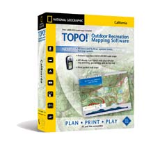
TOPO! State Series
New Version! Released Feb 2006
Seamless statewide topographic map coverage. CD's available
for each state. Add your own routes, symbols, notes web
links and photos. Create elevation profiles.
Upload/Download GPS waypoints.
NEW!
PC and Mac compatible
More Information & Purchase Online
|
|
|
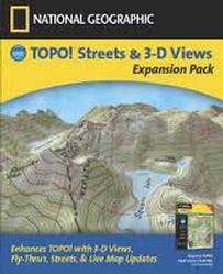
National Geographic TOPO! Streets & 3-D
Views
Expansion Pack
Not required with new version.
We
are please to introduce the TOPO! Expansion Pack which adds
these exciting new features to your TOPO! State Series Product.
The Expansion Pack Gives you:
-
3-D Viewing and Fly-thrus
-
Updates streets at the 1:24,000 level
-
Live Map Update service to keep your
quads and streets up-to-date.
This product is sold separately from the TOPO! State Series.
Requires TOPO! State Series, PC Only
More Information & Purchase Online
|
|
|
|

|
Pocket Topo!
Take TOPO! With You Wherever You Go
Pocket TOPO! is an extension of the TOPO! State Series software
that enables you to export maps to your PDA and to take
advantage of all the TOPO! features when you are away from your
computer. Add notes, symbols and routes to Pocket TOPO! and they
will transfer to your PC the next time you synchronize. (Note:
Pocket TOPO! is specifically designed for use with a TOPO! State
Series product and is compatible with PC version only).
More Information & Purchase Online
|
|
|
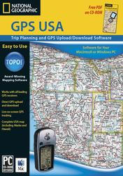
GPS USA
The software of choice for those who want an easy-to-use GPS
waypoint manager and trip planning tool without all of the
detailed maps included in the TOPO! State Series and Back Roads
Explorer software. GPS USA includes three levels of overview
atlas-level maps for the entire U.S.
More Information & Purchase Online
|
|
|
|
|
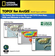
TOPO! for ArcGIS
Import seamless topographic base maps, hillshades, and DEMs into
ArcGIS with one easy click - Conveniently imported in a single
layer or theme.
This extension uses the TOPO! State Series CDs (sold
separately)
More Information & Purchase Online
|
|
|
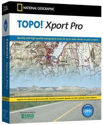
TOPO! Xport
Pro
Export USGS topographic map data for use in any spatially
enabled software including AutoCAD, ArcGIS, ArcView,
Microstation, and Integraph. Export file formats include GeoTIFF,
TIFF, and JPEG with world headers in either the ESRI .TFW format
or MapInfo .TAB format. Raster maps are exported from TOPO!
referenced to latitude/longitude in the Nad83/WGS84 map datum.
More Information & Purchase Online
|
|
|
|
|
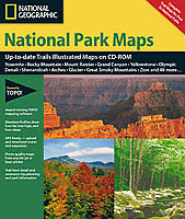
TrailSmart National
Parks
Interactive map coverage of US national parks.
Each set features Trail Illustrated topographic maps.
Add your own routes and symbols, create elevation profiles,
upload/download GPS data and more.
More Information & Purchase Online
|
|
|
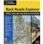
Back Roads Explorer
Take the road less traveled, with nationwide, customizable
topographic maps and up-to-date roads and highways. Seamless
coverage of the entire US with 1:100,000 scale topographic maps
and 2003 road data.
Now Mac and PC Compatible
More Information & Purchase Online
|
|
|
|
|
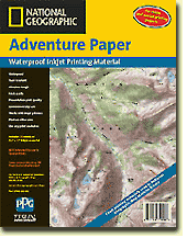
Adventure Paper
Waterproof. tear-resistant printing material. Perfect for
printing custom maps created with TOPO! software.
More Information & Purchase Online
|
|