|
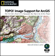
Image Support Extension
|
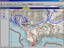
National Geographic's most basic package for ArcGIS makes it
simple and convenient to import seamless topographic base maps
into any ArcView 3.x or ArcGIS 8.x project.
|
|
|
|
|
|
|
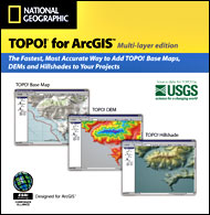
Multi-layer Edition
|
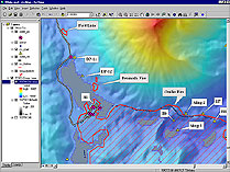
The Multi-layer Edition, National Geographic's premier package
for ArcGIS, allows you to import seamless topographic base
maps, hillshades, and DEMs into ArcGIS.
|
|
|
|
|